"Mapa Político de la Península Ibérica en España"
Mapa Político de la Península Ibérica: Una Guía Completa
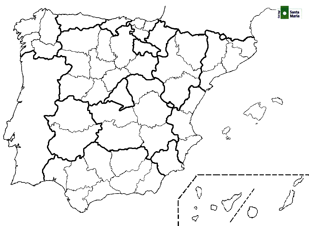
La Península Ibérica, situada en el suroeste de Europa, es una región de gran diversidad cultural, histórica y geográfica. Este artículo explorará el mapa político de la Península Ibérica, con un enfoque en España, y proporcionará información detallada sobre sus regiones, autonomías y sistemas políticos.
Entendiendo la División Política de España
España, el país más grande de la Península Ibérica, está dividido en 17 comunidades autónomas y dos ciudades autónomas. Estas comunidades autónomas tienen un alto grado de autonomía en áreas como educación, sanidad y cultura. A continuación, se presenta una lista de las comunidades autónomas y sus capitales:
- Andalucía - Sevilla
- Aragón - Zaragoza
- Principado de Asturias - Oviedo
- Islas Baleares - Palma de Mallorca
- Comunidad de Madrid - Madrid
- Región de Murcia - Murcia
- Comunidad Valenciana - Valencia
- Galicia - Santiago de Compostela
- La Rioja - Logroño
- Comunidad Foral de Navarra - Pamplona
- Castilla y León - Valladolid
- Cataluña - Barcelona
- País Vasco - Bilbao
- Extremadura - Mérida
- Castilla-La Mancha - Toledo
- Cantabria - Santander
- Ciudad Autónoma de Ceuta
- Ciudad Autónoma de Melilla
Sistemas Políticos y Gobiernos Autonómicos
Cada comunidad autónoma tiene su propio gobierno y parlamento, que se eligen democráticamente. El sistema político de España es una monarquía parlamentaria, en la que el rey actúa como jefe de estado y el presidente del gobierno es el jefe de gobierno. El poder legislativo reside en las Cortes Generales, compuesto por el Congreso de los Diputados y el Senado.


Regiones Históricas y Culturales
Además de las comunidades autónomas, España también se divide en regiones históricas y culturales, como Castilla, Aragón, Galicia y Cataluña. Estas regiones tienen una rica historia y cultura, y en algunos casos, tienen movimientos independentistas activos.
Cataluña: Un Caso Especial
Cataluña, ubicada en el noreste de España, es una de las regiones más industrializadas y prósperas del país. Ha sido el centro de un movimiento independentista activo en las últimas décadas, y en 2017, se llevó a cabo un referéndum sobre la independencia de Cataluña, que fue declarado ilegal por los tribunales españoles.


Portugal: El Vecino de España en la Península Ibérica
Portugal, el otro país de la Península Ibérica, es un país independiente con una rica historia y cultura. Está dividido en 30 distritos y cinco regiones estadísticas. El sistema político de Portugal es una república parlamentaria, en la que el presidente actúa como jefe de estado y el primer ministro es el jefe de gobierno. El poder legislativo reside en la Asamblea de la República.
Conclusión
La Península Ibérica es una región fascinante y diversa, con dos países importantes, España y Portugal, que tienen sistemas políticos y culturales únicos. Este artículo ha proporcionado una visión general del mapa político de la Península Ibérica, con un enfoque en España, y ha explorado las comunidades autónomas, regiones históricas y sistemas políticos de la región.




Related Articles
Península Ibérica: Mapa Político de España
¿Estás interesado en conocer más sobre la Península Ibérica y su mapa político? Has llegado al lugar correcto. En este artículo, exploraremos la geografía, la...

"Mapa de la Península Ibérica: Descubre España"
El Mapa de la Península Ibérica: Una Guía Completa La Península Ibérica, ubicada en el suroeste de Europa, es una región de gran diversidad cultural, histórica...
"Mapa de la Península Ibérica con Provincias de España"
La península ibérica, ubicada en el suroeste de Europa, es una región geográfica y cultural que se divide en dos países: España y Portugal. En este artículo...
"Mapa da Península Ibérica em Espanhol"
Descubriendo la Península Ibérica: El Mapa Mudo La Península Ibérica, una región fascinante y vibrante, es el hogar de una rica historia, cultura y paisajes...
"Península Ibérica: Mapa Completo de España"
Exploring the Iberian Peninsula: A Comprehensive Guide Embark on a journey through one of Europe's most vibrant and diverse regions, the Iberian Peninsula...

"Mapa Político de Europa en Blanco: España"
Comprender el Mapa Político de Europa en Blanco En el mundo de la política y la geografía, el mapa político de Europa en blanco es una herramienta esencial...